
You are here: Home » Coastal Breaks » Barry Island
Barry Island
| Destination: Wales | Operator: Grindles Coaches Ltd Terms |
| Departs: 11/08/2026 | Type: Coastal Breaks |
| Duration: 1 day | Quality: Good * * * |
| Departs Via: South West | Transport: Coach Pickup |
| Tour Code: S3820085 |
OAPs £20.80
Adults £20.80
Children £20.80
Deposit Per Person Payment required in full
* Children: Max age 16
* Babies: Not allowed
Adults £20.80
Children £20.80
Deposit Per Person Payment required in full
* Children: Max age 16
* Babies: Not allowed
41 seats are available.
Cutoff Date: 28/07/2026 00:00
Description
A day excursion to Barry Island offers a fun-filled day at one of South Wales' most popular seaside destinations. Visitors can enjoy the golden sandy beaches, perfect for relaxing or paddling in the sea. The iconic Barry Island Pleasure Park provides classic seaside amusements, with rides and arcades to entertain all ages. Explore the charming promenade, enjoy delicious fish and chips, and take in the stunning coastal views. With its vibrant atmosphere and family-friendly attractions, Barry Island is an ideal spot for a memorable day at the beach.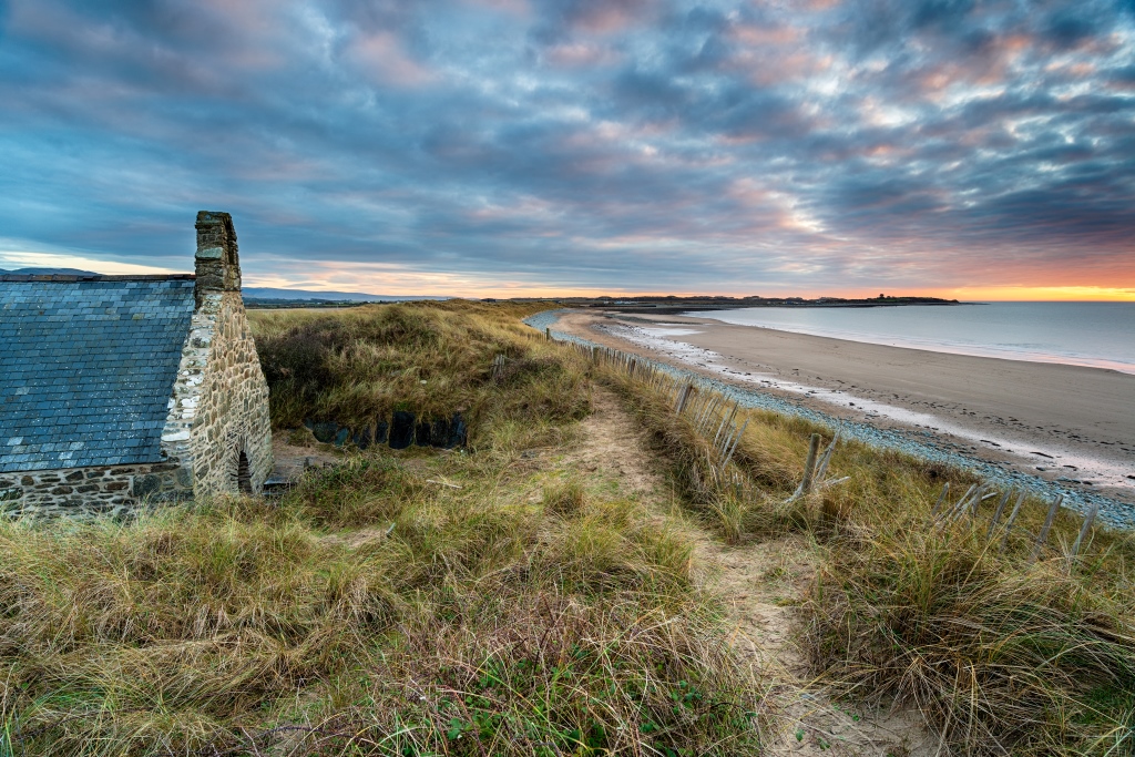
Pick-Up Points

Click the compass icons to preview pickups.

↑ Return to Top - Contact Us - F.A.Q. - Coach Operators - Group Bookings - Hotels - Attractions - Sitemap - Home
© CoachBookings.com 2026 - Company no. 5808080 - Privacy Policy - GDPR Compliance - Terms & Conditions
CoachBookings.com, 17 Birley Street, Blackpool, FY1 1EG, United Kingdom. 0345 33 11 080
CoachBookings.com, 17 Birley Street, Blackpool, FY1 1EG, United Kingdom. 0345 33 11 080