
You are here: Home » Festive Breaks » Worcester Victorian Christmas Fayre
Worcester Victorian Christmas Fayre
| Destination: Worcestershire | Operator: Grindles Coaches Ltd Terms |
| Departs: 06/12/2026 | Type: Festive Breaks |
| Duration: 1 day | Quality: Good * * * |
| Departs Via: South West | Transport: Coach Pickup |
| Tour Code: D3820109 |
OAPs £18.00
Adults £18.00
Children £18.00
Deposit Per Person Payment required in full
* Children: Max age 16
* Babies: Not allowed
Adults £18.00
Children £18.00
Deposit Per Person Payment required in full
* Children: Max age 16
* Babies: Not allowed
37 seats are available.
Cutoff Date: 20/11/2026 00:00
Description
A day excursion to Worcester for the Victorian Christmas Fayre transports you to a charming festive world full of nostalgia and holiday cheer. Set against the backdrop of the city’s historic streets, the market is brimming with Victorian-themed stalls offering handmade gifts, traditional treats, and seasonal delights. Visitors can enjoy street performers, carollers in period costumes, and the scent of mulled wine and roasting chestnuts in the air. The lively atmosphere, combined with the city’s picturesque architecture, makes the Victorian Christmas Fayre an enchanting experience for all ages.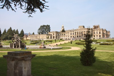
Pick-Up Points

Click the compass icons to preview pickups.

↑ Return to Top - Contact Us - F.A.Q. - Coach Operators - Group Bookings - Hotels - Attractions - Sitemap - Home
© CoachBookings.com 2026 - Company no. 5808080 - Privacy Policy - GDPR Compliance - Terms & Conditions
CoachBookings.com, 17 Birley Street, Blackpool, FY1 1EG, United Kingdom. 0345 33 11 080
CoachBookings.com, 17 Birley Street, Blackpool, FY1 1EG, United Kingdom. 0345 33 11 080