
Bookings for this holiday are now closed
You are here: Home » Sight Seeing » Monet's Garden & Paris
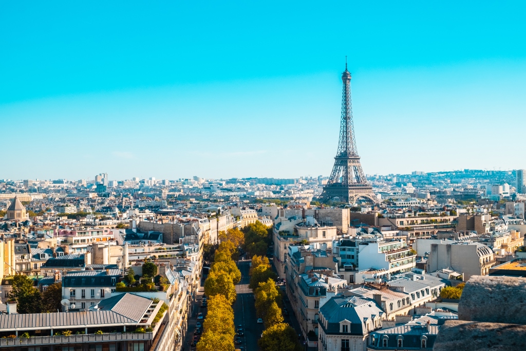
Monet's Garden & Paris
| Destination: Paris | Operator: Crusader Holidays Terms |
| Departs: 04/07/2010 | Type: Sight Seeing |
| Duration: 5 days | Quality: Good * * * |
| Departs Via: South East | Board: Half Board |
| Tour Code: S6608 | Transport: Coach Pickup |
Supplements
| Single Room | £120.00 per person |
Adults £319.00
Deposit Per Person Payment required in full
* Children: Not allowed
* Babies: Not allowed
Sorry, there's not enough time left to book you on this trip!
Deposit Per Person Payment required in full
* Children: Not allowed
* Babies: Not allowed
Sorry, there's not enough time left to book you on this trip!
Description
Based in Paris, you can enjoy the city on a sightseeing excursion and also visit Monet’s Garden and house, situated not far from the city.Itinerary
Day 1 DepartureA morning departure to Dover for our ferry crossing to Calais. We continue through France to Paris.
Days 2-4 At leisure
At leisure in Paris with two included excursions and two optional excursions.
Included Excursion
Full Day Paris A sightseeing tour of Paris, with free time to explore the shops. There will be the opportunity for an optional Seine River cruise.
Included Excursion
Full Day Monet’s Garden An excursion to Monet’s Garden, famous for the scenes depicted in his paintings.
Optional Excursion
Evening Paris by Night An optional excursion to Paris by Night & the Latin Quarter. Choose from intimate little bistros or join us in a French restaurant for an evening meal with drinks and entertainment included. We return on our coach passing some of the major sights of the city.
Optional Excursion
Evening Montmarte An optional evening excursion to Montmartre, the Artists’ Square and Pigalle. From Pigalle you have ample time to take the funicular railway to Montmartre and the Sacré-Coeur, the highest part of the city.
Last Day Travel home
We depart for Calais and our ferry crossing to Dover, arriving home during the evening.
Venue Information
Campanile Hotel Berthier, ParisLocated close to many tourist attractions, facilities here include a restaurant, bar, and lift. All bedrooms are en-suite with a hairdryer, telephone, TV and tea & coffee making facilities.
Pick-Up Points

Click the compass icons to preview pickups.

↑ Return to Top - Contact Us - F.A.Q. - Coach Operators - Group Bookings - Hotels - Attractions - Sitemap - Home
© CoachBookings.com 2026 - Company no. 5808080 - Privacy Policy - GDPR Compliance - Terms & Conditions
CoachBookings.com, 17 Birley Street, Blackpool, FY1 1EG, United Kingdom. 0345 33 11 080
CoachBookings.com, 17 Birley Street, Blackpool, FY1 1EG, United Kingdom. 0345 33 11 080